Mount Ungaran
Mount Ungaran
About an hour south of Semarang, Mount Ungaran (2,050 m) features five hiking trails and sweeping views across Central Java's volcanic chain.
South of Semarang, Mount Ungaran rises to 2,050 metres in central Java. This former stratovolcano, with no notable documented eruptions, offers five hiking trails, panoramic views across Java's volcanic chain, and a challenging final ascent lasting 3 to 6 hours.
Why climb Mount Ungaran
Located roughly an hour's drive south of Semarang, Mount Ungaran remains less crowded than its neighbours Merapi or Merbabu, making it an excellent choice for those seeking to hike Java without the crowds. From its southern and eastern slopes, the eye sweeps across a succession of peaks: Mount Andong, Mount Telomoyo, Mount Merapi, Mount Merbabu, Mount Sumbing, Mount Sindoro, and Mount Prau. On clear days, the summit also opens onto the city of Semarang and the Java Sea to the north.
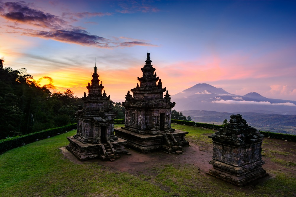
The massif combines geological interest—two active fumarole fields on the southern slope despite the absence of notable eruptions—and cultural appeal, with the Hindu temple complex of Gedong Songo nearby and villages of coffee and tea plantations dotting the area.
Trails and ascent
Five main routes lead to the summit:
- Medini Trail: navigable by motorcycle or car as far as Promasan village, which shortens the walk considerably.
- Promasan Trail: passes through coffee and tea gardens, a classic bivouac stop.
- Rose Trail (Mawar): departure from Mawar Basecamp, the most popular route for beginner hikers.
- Bandungan Trail: eastern slope, starting from the hillstation of Bandungan.
- Songo Trail (Gedong Songo): departure from the temple complex.
The most common route begins at Mawar Basecamp, the first base camp reached after completing a hiking form and paying the entrance fee. The trail crosses a pine forest then mixed woodland, with a small stream offering water resupply. The terrain then steepens, becoming muddy during the wet season.
Once you reach the level of Promasan village, you have two options: continue directly to the summit or bivouac there and begin the final ascent at dawn. At the T-junction, views open onto the coffee and tea gardens. The final ascent takes 3 to 6 hours depending on pace, with frankly steep sections. From the summit, the panorama embraces Semarang, the Java Sea, and the surrounding volcanoes.
Practical information
- Altitude: 2,050 m.
- Total duration: most hikers complete the round trip in a single day; those wanting to catch the sunrise bivouac at Promasan.
- Formalities: hiking form to complete at Mawar Basecamp and entrance fee payable on site (modest amount, subject to change).
- Equipment: hiking boots with good grip (muddy slopes demand lugged soles), warm clothing for the night at the summit, headlamp, water, snacks, waterproof jacket during the rainy season.
- Level: physically demanding but no technical climbing required. Good fitness is essential for the steep final sections.
When to go
Central Java experiences a tropical climate with two seasons. The dry season, roughly May to September, offers the best hiking conditions: less slippery trails, clear skies at dawn, sharper views of neighbouring volcanoes. The rainy season, October to April, renders trails muddy and thunderstorms frequent in late afternoon: caution is advised, particularly in the event of storms at altitude.
Temperatures range between 21°C and 31°C in the lowlands, with rare extremes outside 19–33°C. At the summit at dawn, the air is noticeably cooler.
How to get there
Mount Ungaran is ringed by the towns of Ungaran to the east and Ambarawa to the south. From Semarang, allow about an hour's drive by car to Mawar Basecamp or Bandungan. From Yogyakarta, the journey takes 3 to 4 hours by road, via Magelang then Ambarawa.
Several access routes exist: Medini and Gedong Songo are the most used. The older trails from Curug Lawe and Nglimut have been reported as closed: check locally before departure, as status can change.
Nearby attractions
Several sites extend your visit:
- Gedong Songo temple complex: nine Hindu temples from the 9th century scattered across the southern slope, among the fumaroles.
- Bandungan: hillstation renowned for its flower market and cool climate.
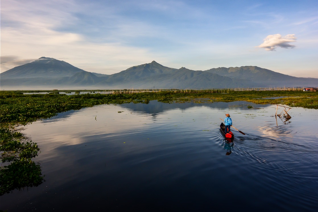
- Rawa Pening Lake: at the south-eastern edge of the massif, a vast body of water bordered by fishing villages.
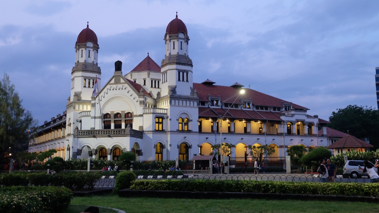
- Semarang: former colonial city and capital of Central Java.
Frequently asked questions
Incorporating Mount Ungaran into your trip
Mount Ungaran fits naturally into a Central Java circuit, between Semarang, the temples of Borobudur and Prambanan, and Yogyakarta. To build a bespoke itinerary including this climb, explore our Indonesia travel ideas.
Interested in this visit?
We can include it in your personalised itinerary.