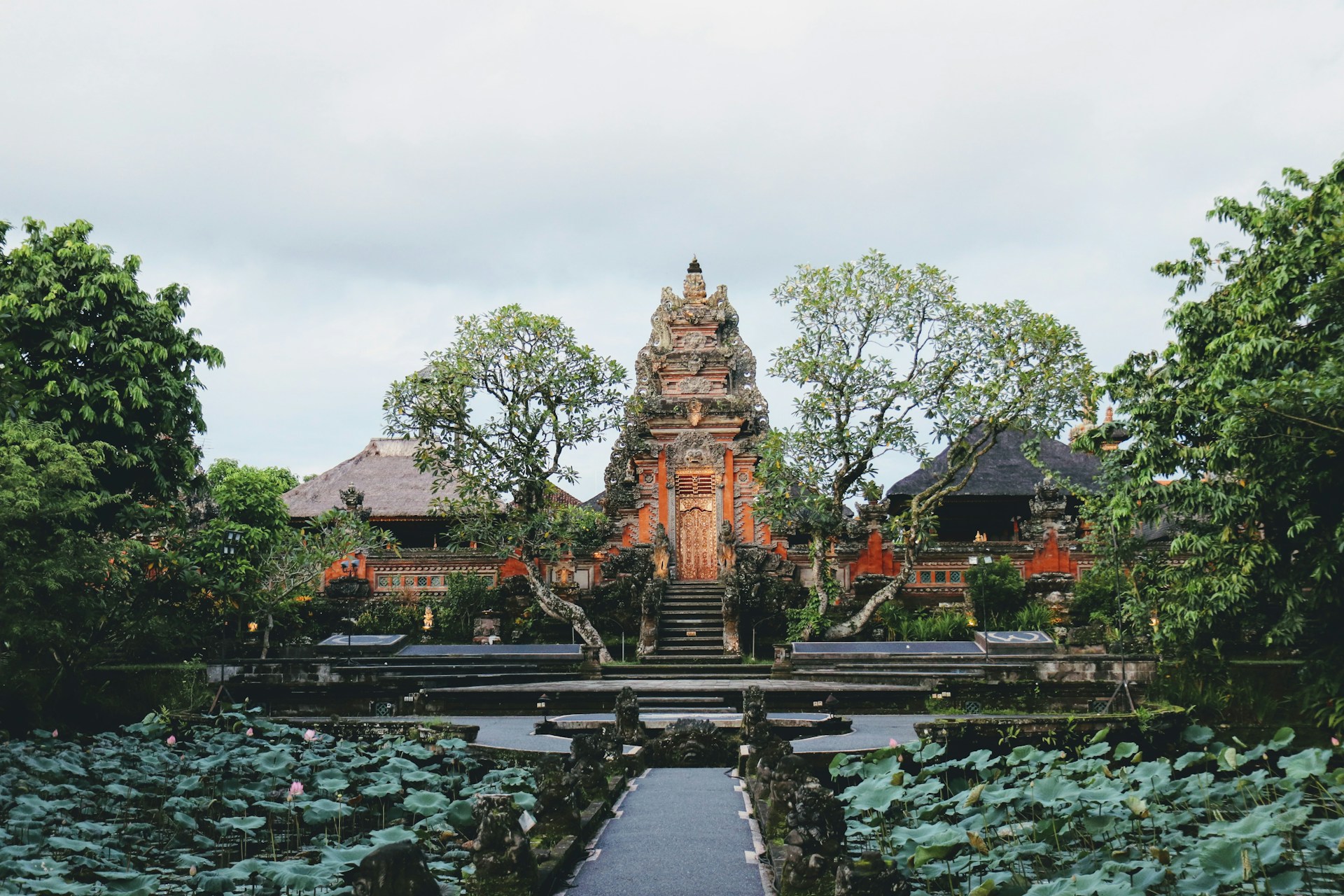
Arjuno-Welirang Volcanic Massif
A twin volcanic complex between Malang and Mojokerto, the Arjuno-Welirang combines challenging hiking, active fumaroles, and the ruins of the Majapahit empire scattered across the slopes of Mount Arjuno (3,339 m).
The Arjuno-Welirang massif forms a double volcanic complex at the heart of eastern Java, nestled between the cities of Malang and Mojokerto. Mount Arjuno reaches 3,339 meters, while Welirang peaks at 3,156 meters. The two summits are linked by a ridge that experienced hikers traverse in two to three days. Welirang remains active: its sulfurous fumaroles are visible from the trails and fuel artisanal sulfur extraction.
Quick Facts
- Main access: departure from Tretes guard post (northern slope, Mojokerto) or from Lawang (southern slope, Malang).
- Permits: mandatory registration at the guard post before climbing.
- Recommended duration: 2 to 3 days for the Arjuno-Welirang traverse; 1 night minimum to reach the Welirang summit alone.
- Level: challenging hike, good physical fitness required; local guide strongly recommended.
- Gear: warm clothing essential (temperatures near 0°C at the summit at night), headlamp, adequate water supply.
- Accessibility: not wheelchair accessible.
What to See
Welirang features active fumarole fields where miners still extract sulfur by hand, transporting yellow blocks in bamboo baskets. Arjuno, quieter and more serene, offers dense montane forest up to around 2,800 meters, then a zone of sparse vegetation and clear views across the plains of eastern Java and neighboring volcanoes—Penanggungan, Semeru, Bromo.
History and Context
Arjuno takes its name from the hero of the Hindu epic Mahabharata. Several meditation sites and temple ruins from the Majapahit period dot the slopes, bearing witness to ancient veneration for this massif. Javanese pilgrims continue to climb Arjuno on certain sacred nights of the kejawen calendar.
Highlights of the Visit
The Sulfurous Fumaroles of Welirang
At the level of the Welirang crater, jets of hot gas color the rocks in vivid yellow. Sulfur miners work early in the morning; their presence lends a rare human dimension to an active volcano. Stay on marked trails: sulfur dioxide emissions can be hazardous in unfavorable winds.
The Ridge Traverse
The ridge connecting the two summits is the most spectacular section. In clear weather, the panorama simultaneously embraces Semeru to the southeast and Bromo to the south. The complete traverse demands good navigation skills and a night camping at altitude.
Majapahit Ruins on the Slopes
Several stone structures, dating from the Majapahit empire (13th–15th centuries), are scattered across the slopes of Arjuno. They serve as natural rest stops along the trail and underscore the sacred role of the mountain in Javanese cosmology.
Photography Tips
Light is optimal at sunrise from the ridge: neighboring volcanoes emerge from a sea of clouds between 5 and 7 a.m. For Welirang's fumaroles, photograph backlit early in the morning to capture the density of vapors. Protect your gear from humidity and sulfur particles with a waterproof bag.
Location and Access
The massif sits approximately 40 km north of Malang and some 30 kilometers south of Mojokerto. The most frequently used starting point is Tretes, accessible by minibus (angkot) from the Pandaan bus station. From Malang, ojek motorcycles or rental cars service Lawang. No direct public transport to the guard posts: arrange a private transfer or negotiate a local ojek.
In the Area
- Mount Penanggungan — more accessible sacred volcano, covered with Hindu temple ruins, west of the massif.
- Mount Bromo — emblematic active crater of eastern Java, roughly two hours' drive to the southeast.
- Mount Semeru — Java's highest peak (3,676 m), accessible from Malang, for experienced mountaineers.
- Tretes — colonial hill station at the foot of the massif, convenient departure point with lodging and restaurants.
Frequently asked questions
The dry season (April to October) offers the best conditions: less slippery trails and more frequent summit visibility. In the rainy season, trails become muddy and clouds often obscure the views.
A local guide is strongly recommended, especially for the complete traverse. Signage is partial and weather conditions change rapidly at altitude. Guides are available at Tretes and Lawang.
Sulfur dioxide emissions can be irritating, even hazardous in unfavorable winds. A charcoal mask is advised near the craters. Follow your guide's directions and leave the area if the odor becomes strong.
Yes, the two sites are about two hours' drive apart. Allow two to three days for Arjuno-Welirang, then head to the Bromo-Tengger-Semeru area for a complementary excursion.
Tretes has several guesthouses and hotels of varying standards. Malang, the larger city, offers more lodging and dining options before or after your hike.
Interested in this visit?
We can include it in your personalised itinerary.