Mount Raung
An active stratovolcano in East Java, Mount Raung attracts experienced hikers with its open caldera, active central crater, and panoramic views of neighboring volcanoes. A demanding climb, far from the crowds.
Mount Raung is an active stratovolcano in East Java, with a summit reaching approximately 3,332 meters. It is known for its immense open caldera and central crater in constant activity, visible from the summit's edge. The climb, demanding and technical, attracts experienced hikers seeking a raw, minimally developed volcano, far from the crowds of Bromo or Semeru.
Quick Facts
- Access: main starting point from Kalibaru (Banyuwangi side) or Sumber Wringin (Bondowoso side); road to the ranger post, then hiking.
- Recommended duration: 3 to 4 days round trip for a complete ascent to the crater rim.
- Difficulty: difficult to very difficult hiking — exposed rocky passages, technical equipment recommended for the crater rim.
- Permit: mandatory registration at the forestry post (TNGMB or local post) before departure.
- Local guide: highly recommended; the trail is poorly marked on higher sections.
- Accessibility: not wheelchair accessible.
What to See
Raung offers one of Java's most wild volcanic panoramas. The caldera measures several kilometers across; the active crater at its center continuously emits fumaroles and, during active phases, lava. On clear days, Semeru, Ijen, and the Java Sea are visible from the summit rim.
Vegetation changes dramatically with altitude: dense tropical forest in the early hours, then moss forest, alpine moorland, and finally bare mineral volcanic terrain.
History and Context
Raung is one of Java's most active volcanoes, with eruptions regularly recorded since the 17th century. Its activity has several times disrupted regional air traffic. The volcano is managed within Meru Betiri National Park and adjacent protected forest zones. It remains less frequented than its neighbors due to the technical difficulty of the ascent.
Highlights of the Visit
The Crater Rim
Reaching the caldera's edge is the primary objective of the climb. The plunging view into the active crater, with its fumaroles and sulfur-colored walls, is breathtaking. This passage demands caution: the terrain is unstable and exposed.
Sunrise at Altitude
From the high-altitude camp, sunrise over the sea of clouds and neighboring volcanoes is one of the trek's most memorable moments. Most organized groups plan their timing to reach the crater rim at dawn.
Crossing the Moss Forests
Between 2,000 and 2,800 meters, the moss forest creates a dense and silent atmosphere, very different from the volcanic landscapes of the summit. This is also the zone where wildlife—endemic birds and primates—is most present.
Photography Tips
Morning light is ideal for photographing the crater before clouds roll in. Fumaroles are more visible in cool conditions. Protect your equipment from humidity in the moss forest and from volcanic ash at altitude. Drones are subject to authorization within national park zones.
Location and Access
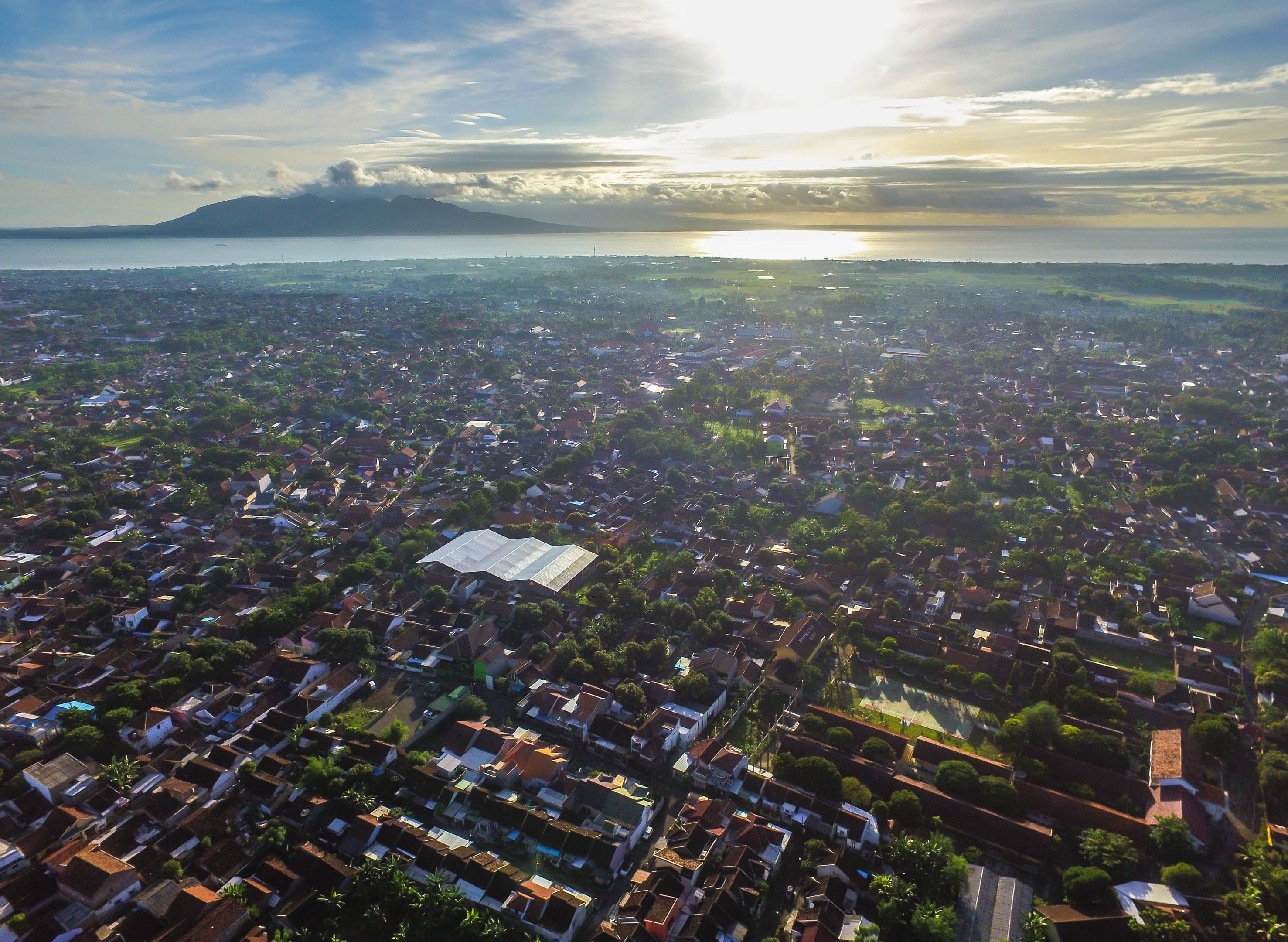
Raung sits at the junction of Banyuwangi, Bondowoso, and Jember regencies, in East Java. The city of Banyuwangi, accessible by train from Surabaya or by ferry from Bali, is the most convenient logistics hub. From there, rental vehicles or ojek allow you to reach the starting posts. The English-speaking agency Nomadays can organize transportation, guides, and permits from Banyuwangi.
Nearby Attractions
- Ijen Crater — famous for its turquoise acidic lake and blue fire visible at night; accessible from Banyuwangi, often combined with Raung.
- Mount Semeru — Java's highest peak, another major volcanic climb in East Java.
- Meru Betiri National Park — protected coastal forest home to sea turtles and remarkable biodiversity, south of Banyuwangi.
- Banyuwangi — departure city, gateway to East Java and the ferry to Bali.
Frequently asked questions
The dry season (April to October) offers the best conditions. During the rainy season, trails become slippery and visibility at the summit is often nonexistent. Also check the level of volcanic activity before departing: Raung is regularly on alert.
A local guide is highly recommended. The trail is poorly marked on higher sections, and terrain knowledge is essential for safety, particularly on the crater rim.
Yes, both sites are close to Banyuwangi. Many hikers tackle both, starting with Raung (longer and more demanding) then finishing with Ijen. Plan a minimum of 5 to 6 days for both.
Complete camping gear, warm clothing (nights at altitude are cold), waterproof hiking boots, gas mask for the crater rim, and headlamp for the nocturnal departure to the summit.
No. The ascent to the crater rim is classified as difficult to very difficult, with exposed rocky passages. Good physical condition and prior experience with high-altitude hiking are necessary.
Interested in this visit?
We can include it in your personalised itinerary.